SPHERE is a geographic information system for situational awareness, combat management and drone control. Specialized thematic layers provide visualization of objects in accordance with the NATO APP-6(B) and APP-6(D) military symbols, which allows for the rapid identification of units, equipment, targets, headquarters and logistics facilities on the map in accordance with internationally recognized markers.
Aggregation and management of information on military resources, targets, units, radar information, and interaction with other NATO information systems.
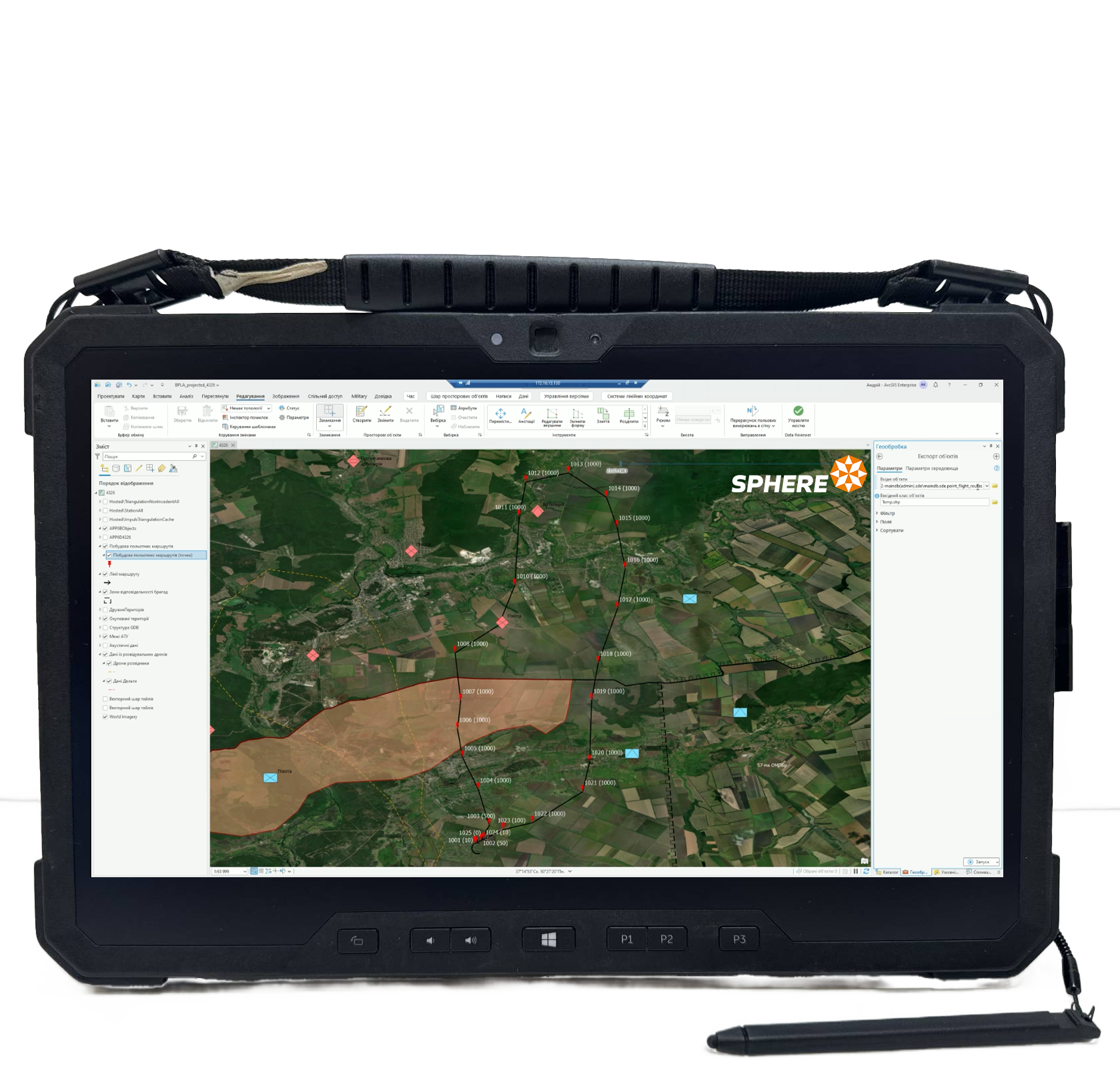
Planning and management of flight missions and guidance of drones, including groups. Automated target recognition and identification subsystem based on neural network (AI).
Full compatibility with information systems of NATO partners. Flexibility in implementing combat management scenarios of varying complexity.
[ OCTAVA DEFENCE ]
Advantages of the solution
Compatible with NATO standards and based on SAPIENT architecture
Situational control over the territory: friendly and occupied zones
Route formation from a set of points and adaptation to terrain and combat missions
Modern algorithm for acoustic and radar data processing